![]() 1 يناير 1970
1 يناير 1970
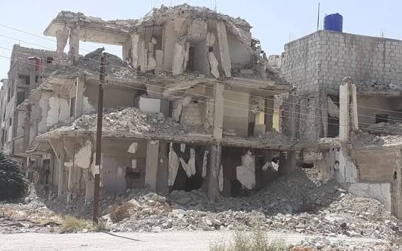
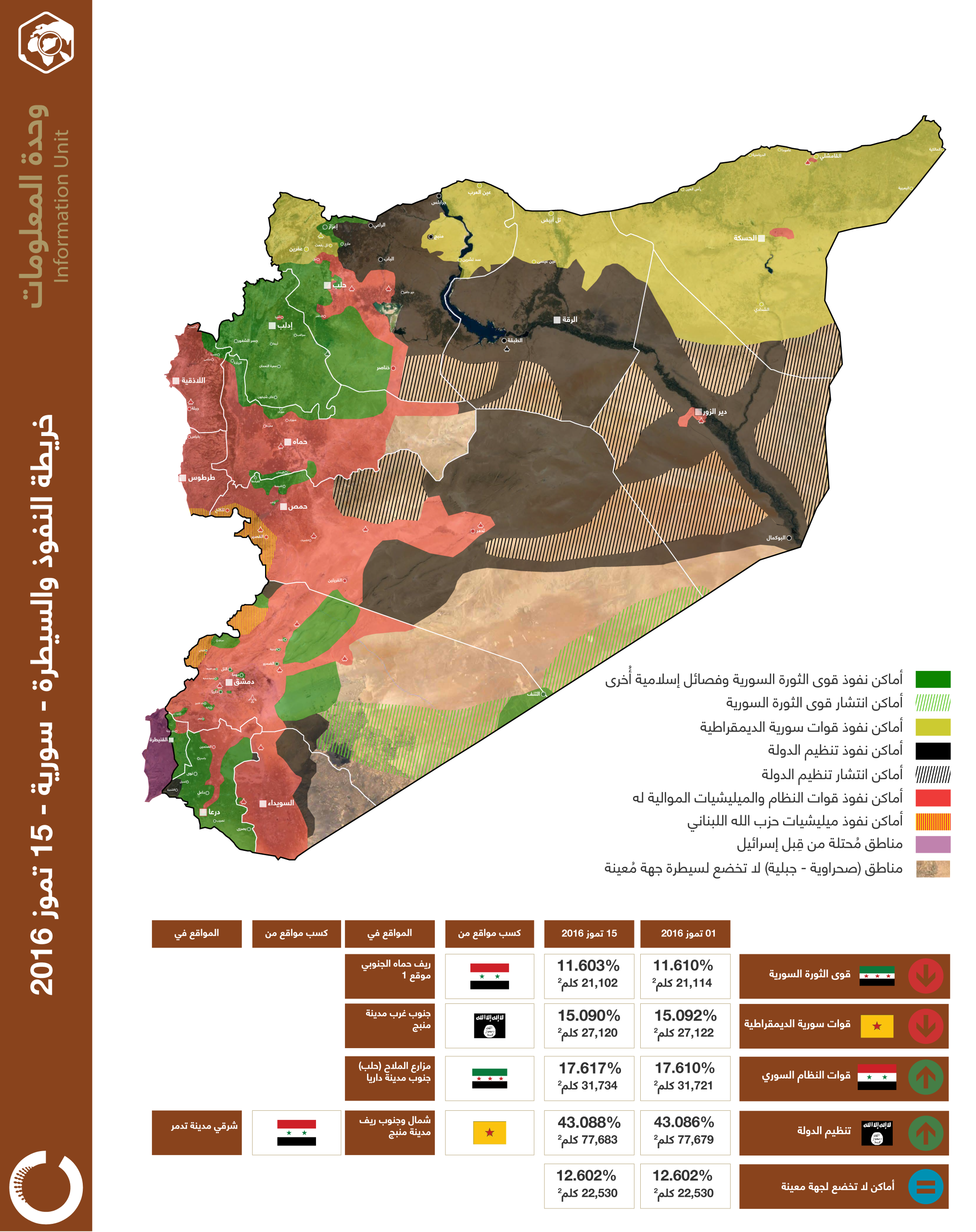
خريطة توضح تغيرات مواقع السيطرة في مدينة داريا حتى 13 تموز 2016
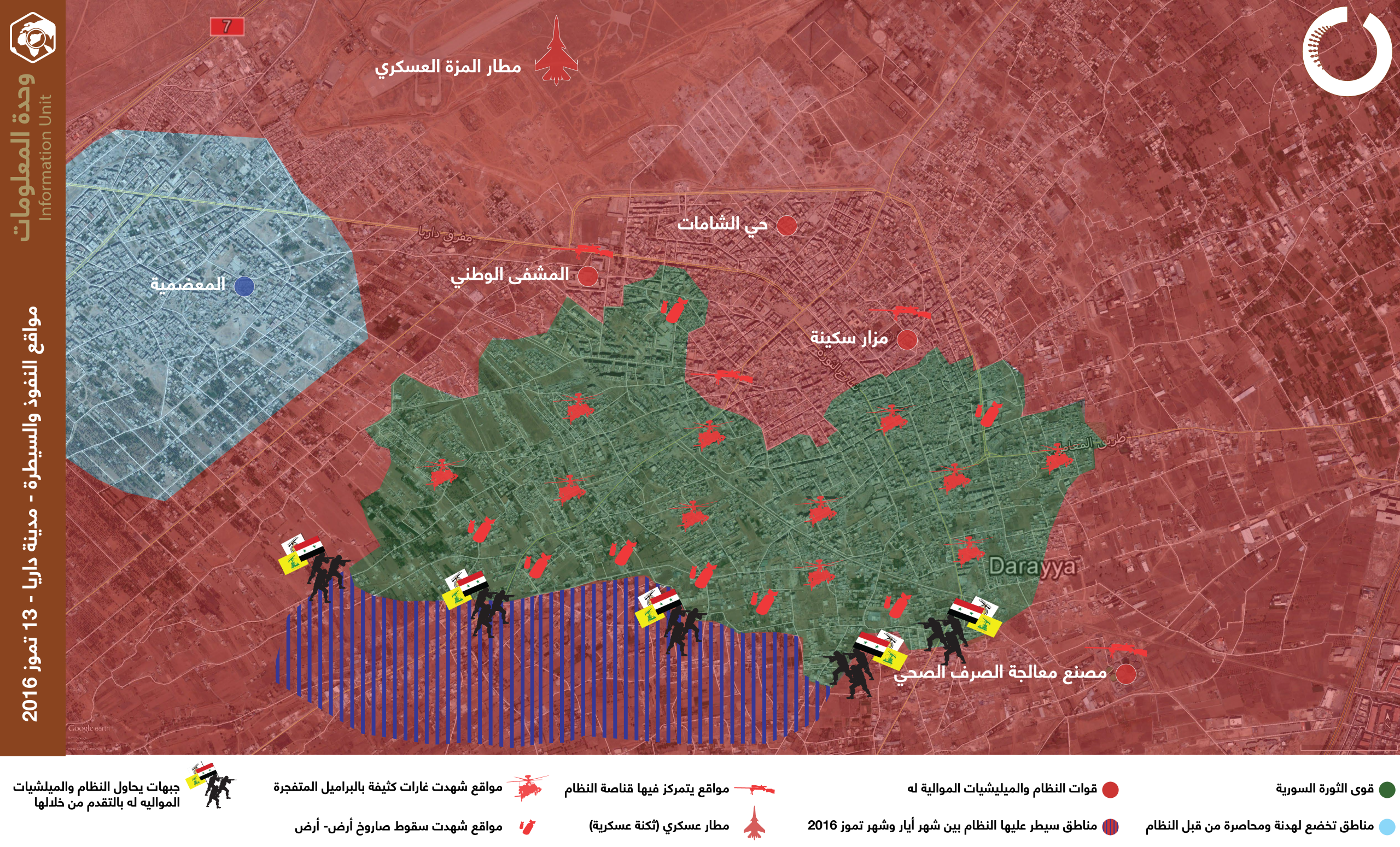
خريطة توضح تغيرات مواقع السيطرة في مدينة داريا حتى 13 تموز 2016
Omran Center for Strategic Studies. (2016، July 13). خريطة توضح تغيرات مواقع السيطرة في مدينة داريا حتى 13 تموز 2016 [Map]. Omran Center for Strategic Studies. https://omrandirasat.org/maps/a-map-showing-the-changes-in-control-locations-in-the-city-of-daraya-until-july/
Omran Center for Strategic Studies. 2016. "خريطة توضح تغيرات مواقع السيطرة في مدينة داريا حتى 13 تموز 2016" [Map]. https://omrandirasat.org/maps/a-map-showing-the-changes-in-control-locations-in-the-city-of-daraya-until-july/.
@misc{a-map-showing-the-changes-in-control-locations-in-the-city-of-daraya-until-july,
  title        = {خريطة توضح تغيرات مواقع السيطرة في مدينة داريا حتى 13 تموز 2016},
  author       = {Omran Center for Strategic Studies},
  year         = {2016},
  howpublished = {https://omrandirasat.org/maps/a-map-showing-the-changes-in-control-locations-in-the-city-of-daraya-until-july/},
  note         = {Map}
}
مرخصة بموجب CC BY-SA 4.0 الرخصة الكاملة